
City issues latest spatial trends report depicting land use in Cape Town
9 November 2026
City report highlights Cape Town growth trends
The City of Cape Town has issued its latest Spatial Trends and Implementation Tracking Report in light of World Town Planning Day on 8 November. This fourth iteration gives an overview of development and land use patterns in Cape Town since 2012.
The City’s Spatial Trends and Implementation Tracking report gives an overview of development and land use patterns in Cape Town from 2012 to 2026.
These include:
- Changes in densification and mixed-use development
- The extent of the built footprint
- The extent of our natural and agricultural assets
- Changes in the property market
- Uptake of new development and human settlement patterns
- New indicators that include combined residential density, changes in informal settlement density, activity in the property market and valuation changes over time, non-residential growth in designated economic areas, and changes in the extent of the city’s wetlands.
The report also measures public investment and projects aimed at restructuring and upgrading urban areas, and monitors public expenditure. This latest issue represents a substantial update to the previous report, with most indicator panels showing new information and the latest figures as the 2025 General Valuations data has been incorporated.
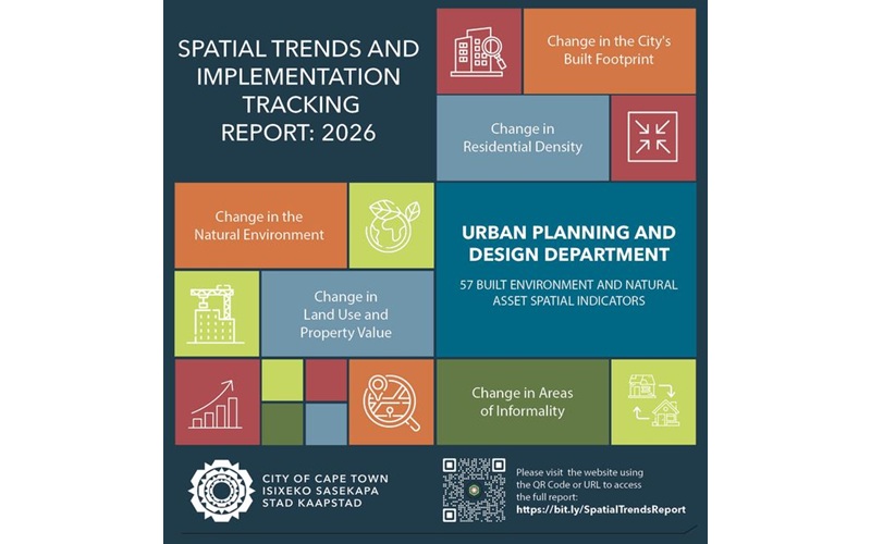
Some key trends:
- The urban footprint, or built environment, grew by 4 056 ha between 2012 and 2024
- Some 31% of land inside the urban development edge remains undeveloped
- Residential density is increasing, with formal gross residential density increasing from eight dwellings per hectare to 11 dwellings per hectare in 2025, but the rate and form of densification vary between the eight planning districts
- There has been an increase of 30% in the Cape Town BioNet that is formally protected and conserved areas between 2009 and 2025 thanks to proactive land acquisitions and conservation land banking
- Non-residential development increased substantially between 2012 and 2025 from approximately 41 million m² to approximately 60 million m² of floor area (41% increase), with much of this growth in established industrial and business locations
- Warehousing has been the fastest growing non-residential land use sector, while manufacturing remains the largest by total floor area, reflecting continued industrial activity and expanding logistics and distribution functions
- There was 27,3% growth in the formal housing stock since 2010/11 to 2024/2025
- Since 2018/19, freehold prices increased by 1,5%, while sectional-title prices declined by 9,9% in real terms
Informal structures increased with about 67% from 169 330 to 283 379 units since 2016; and this growth remains concentrated in the metro-south east and along major transport corridors such as the N2, N1, N7 and key rail corridors
Urban expansion continues to reshape Cape Town’s landscape, while the increase in formally protected biodiversity areas highlights the ongoing efforts to balance development with sustainability.
The availability of vacant land in the northern peripheral areas is driving new development and shaping the City’s built extent. There is ongoing intensification of existing residential areas where lower density housing is increasingly being redeveloped into higher density forms, particularly within established development corridors and nodes.
Non-residential development trends outside of existing economic areas suggest there is an increase in economic diversification and business activity within residential and mixed-use areas. The density and diversity of land use, alongside the prevalence of informality, provide a nuanced view of the city’s evolving spatial patterns and trends.
Additionally, the data on government-subsidised housing and capital expenditure underscore the city's commitment to inclusive growth and infrastructure development.
For more information on the City’s Urban Planning and Design projects, visit the City's website.
The recording of long-term trends is important for evidence-based planning, and provides guidance on the spatial policies and interventions that may be needed in improving the City’s resilience, residents’ quality of life, infrastructure investment, and the protection of natural resources and heritage assets, among others.
Published by:
City of Cape Town, Media Office